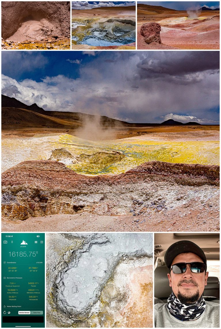
After hours of driving, we stopped at a fumerol field. As the image of our elevation app shows lower-left, we were at over 16,000 feet elevation at this location. I wondered if my drone would handle this altitude, but though it kept complaining about the high altitude, it did amazingly well. Our guide, Alvaro, is shown in the lower-right image in the car as we approached this destination.
This region is basically an area where sulfur and other noxious chemicals bubble to the surface. This creates the yellow-tinged landscape (center). The drone images (center-bottom) look mostly like rather disgusting mud bubbling up. As I tried to take more drone images, the high winds finally got the better of the drone though, and I had to bring her home, to avoid losing her into the Pits of Hell…
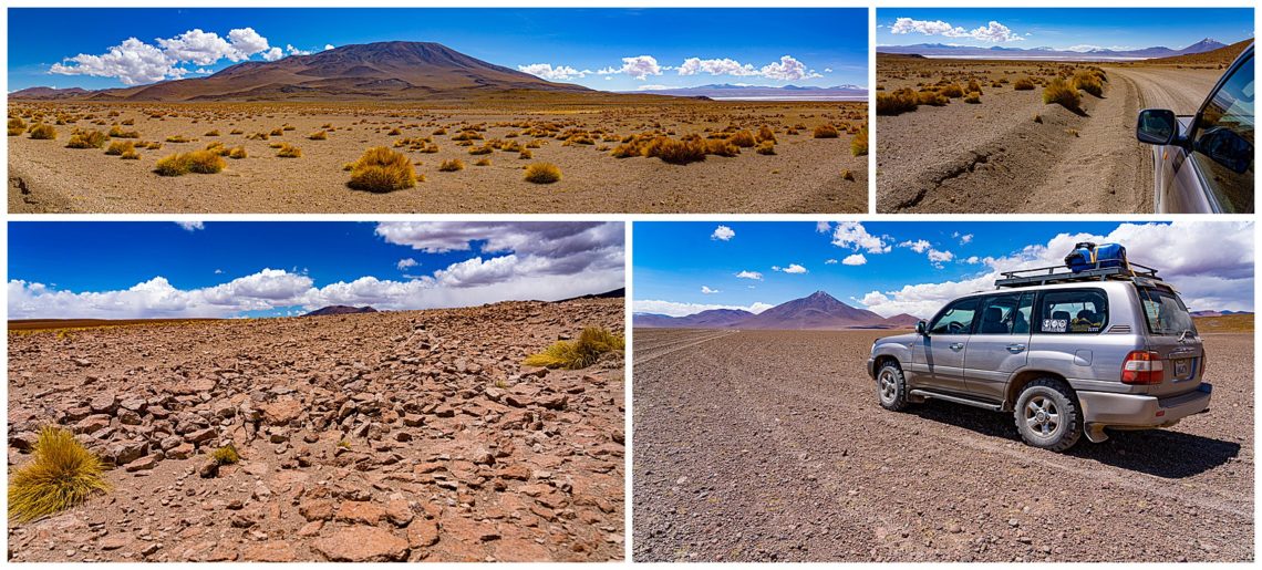
As we continued to drive across the High Desert for hours, I was struck with how this much feels like driving across Mars. I asked our driver to stop, so I could capture some images above of how we’re driving to nowhere. The road (lower-right) came-and-went and sometimes we seemed to be driving across totally barren lands. God Bless GPS! ☺ The driver is so highly skilled to find tracks in the middle of no roads, aiming towards distant landmarks along the Andes, so we could always sit back and enjoy the ride, without worrying about whether we were lost or not.
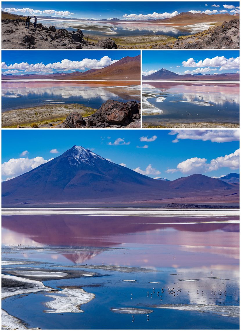
Our very long drives across the Bolivian High Desert brought us to many stunning landscapes. One such was the lagoon above. Though there are flamingos there (look closely at the bottom image), we decided they were not really the focal point here, and instead focussed on the scenic landscape and reflections.
We visited so many lagoons, that I am afraid I lost count or names of them. One lagoon to see coots required a walk of about a mile to reach, passing across a valley where the llamas graze. It is probably one of the most beautiful spots in the high desert.
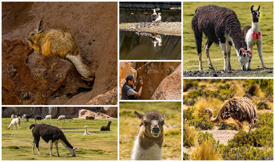
On this particular trek, the lagoon itself was okay. However, along the hike, we saw numerous animals, some of which we had never seen before. The viscacha upper-left resembles a rabbit with a squirrel tail, but is native only to South America. Lower-right shows a Bolivian ostrich, something we had teased our guide about for days as not really existing…?
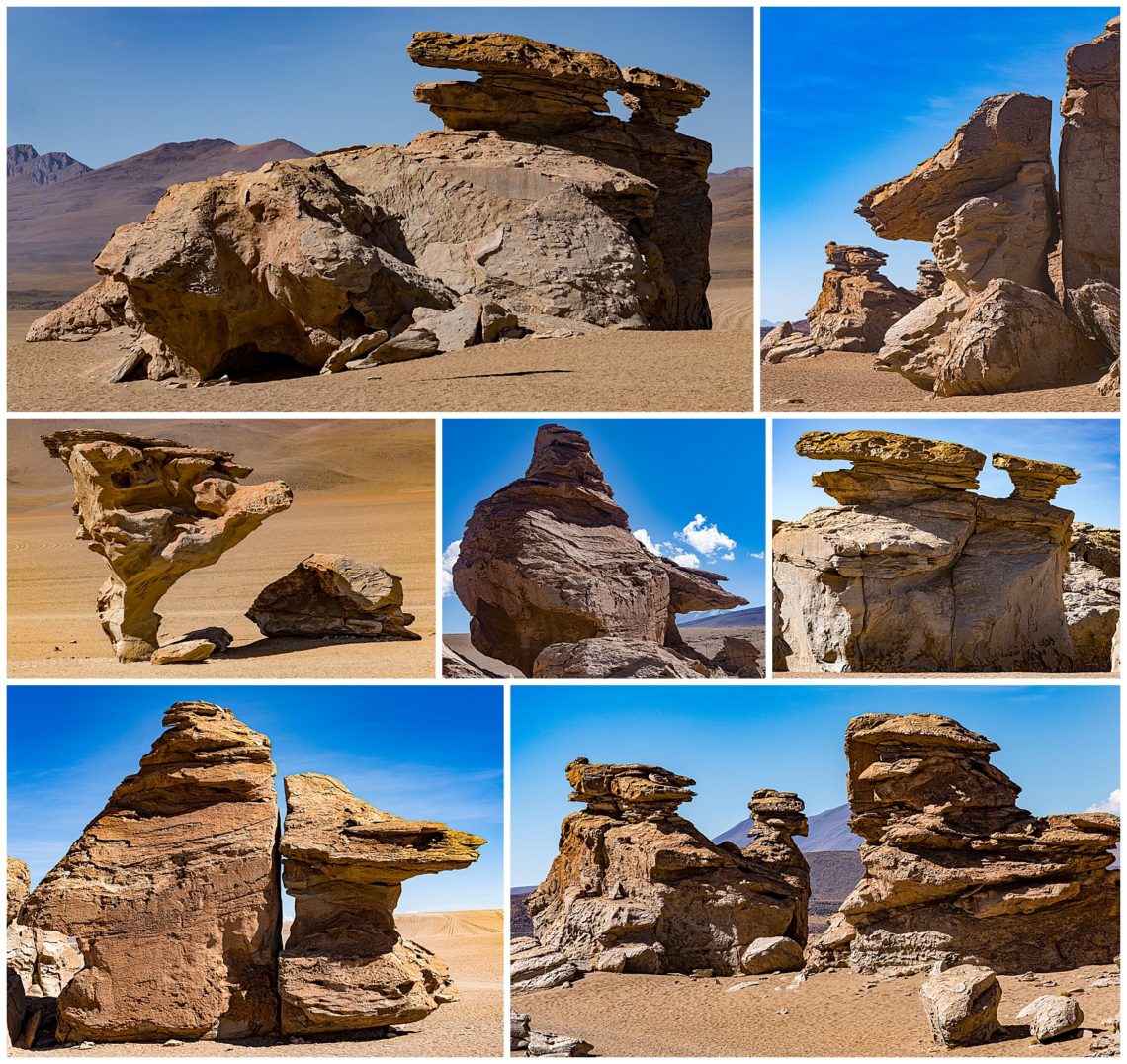
One of our stops near our hotel (hotel Tayka del Desierto at 14,839′ is the highest hotel in the world) was the “canyon of rocks” in the high plateau. We spent an hour or so here, capturing the odd rock formations carved out by the constant wind.
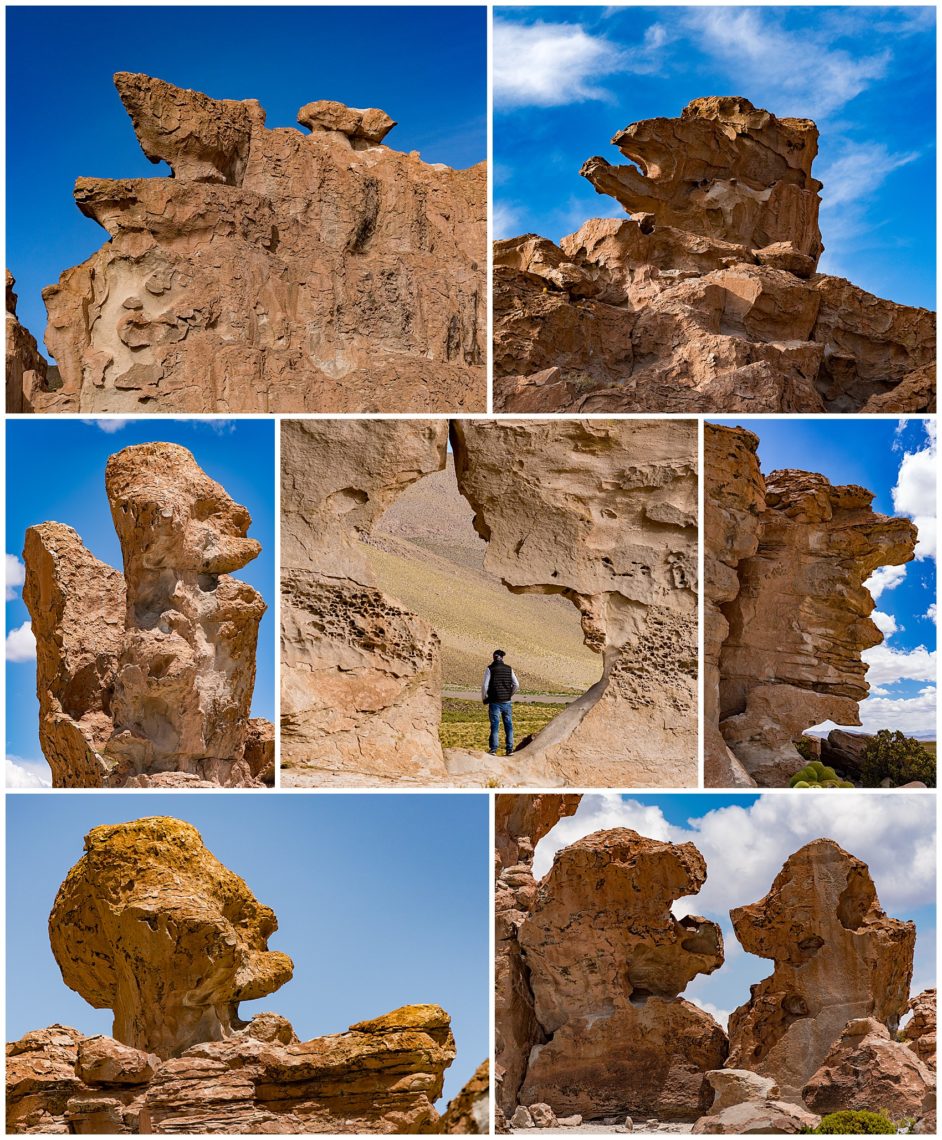
After the “rock formation” area, we drove to the Lost City. Though similar to the prior stop, these rock formations struck an instant “image recognition” in them. Though also formed by wind, this area seemed to create rock formation that I could instantly put a name to. Photos often lose that “I see a bear” effect, but these are so strong I still see them when writing this. Can you see them too?
