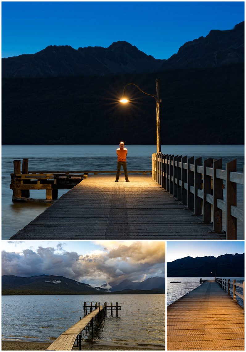
Glen Howey, our local guide, kept bringing us to new photogenic places in rapid succession. One late afternoon he brought us to the Glenorchy jetty on Lake Wakatipu and suggested it would be a good location for dramatic images. I was skeptical at first, and captured a standard photograph of the pier (lower-left) in late afternoon, and was not very impressed…
As dusk set, the light came on at both the start and end of the pier, and the image began to improve (lower-right). As full darkness fell, Glen offered to walk to the end of the pier and stand perfectly still while we took long exposure photographs. This was another time when his vision and experience helped us create an interesting image from a less-than-interesting location (top).
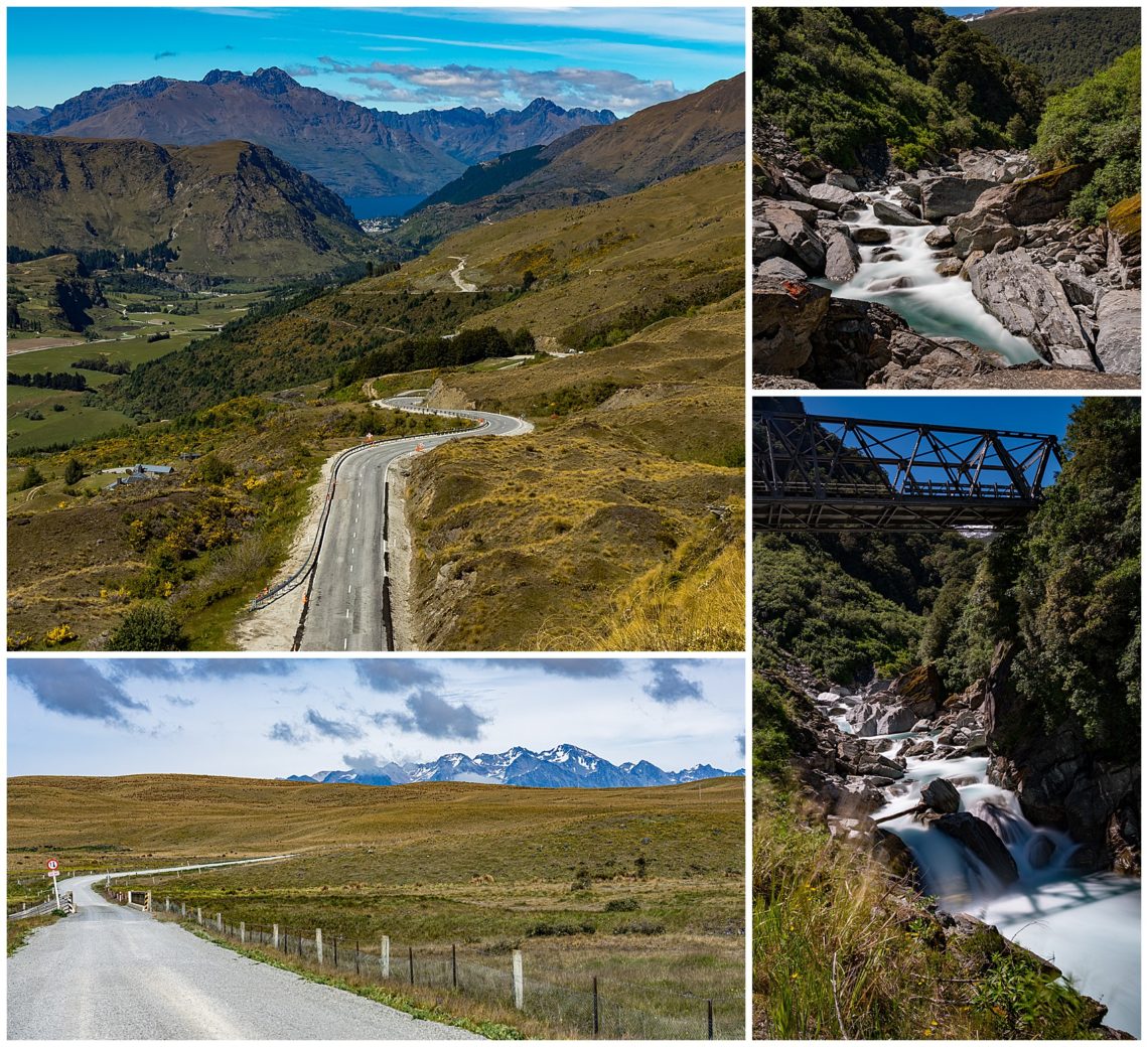
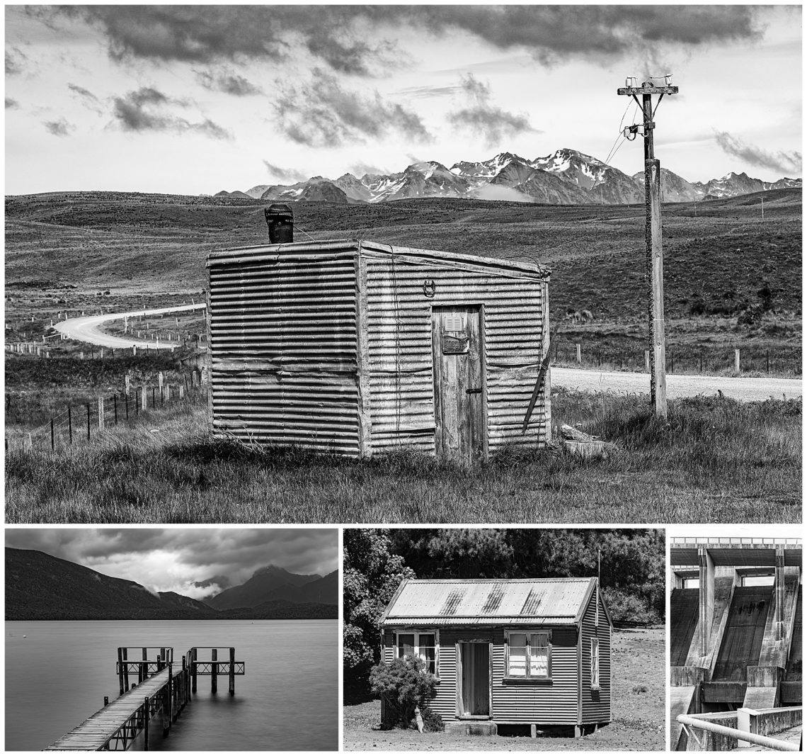
As we drove many hours each day in our bus, Glen would stop frequently at photographically interesting locations. This gave us a place to stretch both our legs and our imaging skills. Several of the stops were simply at the side of a road that stretched off into the distance to an interesting destination (left column). Other stops were near a small river that offered chances to stretch our camera skills (right column).
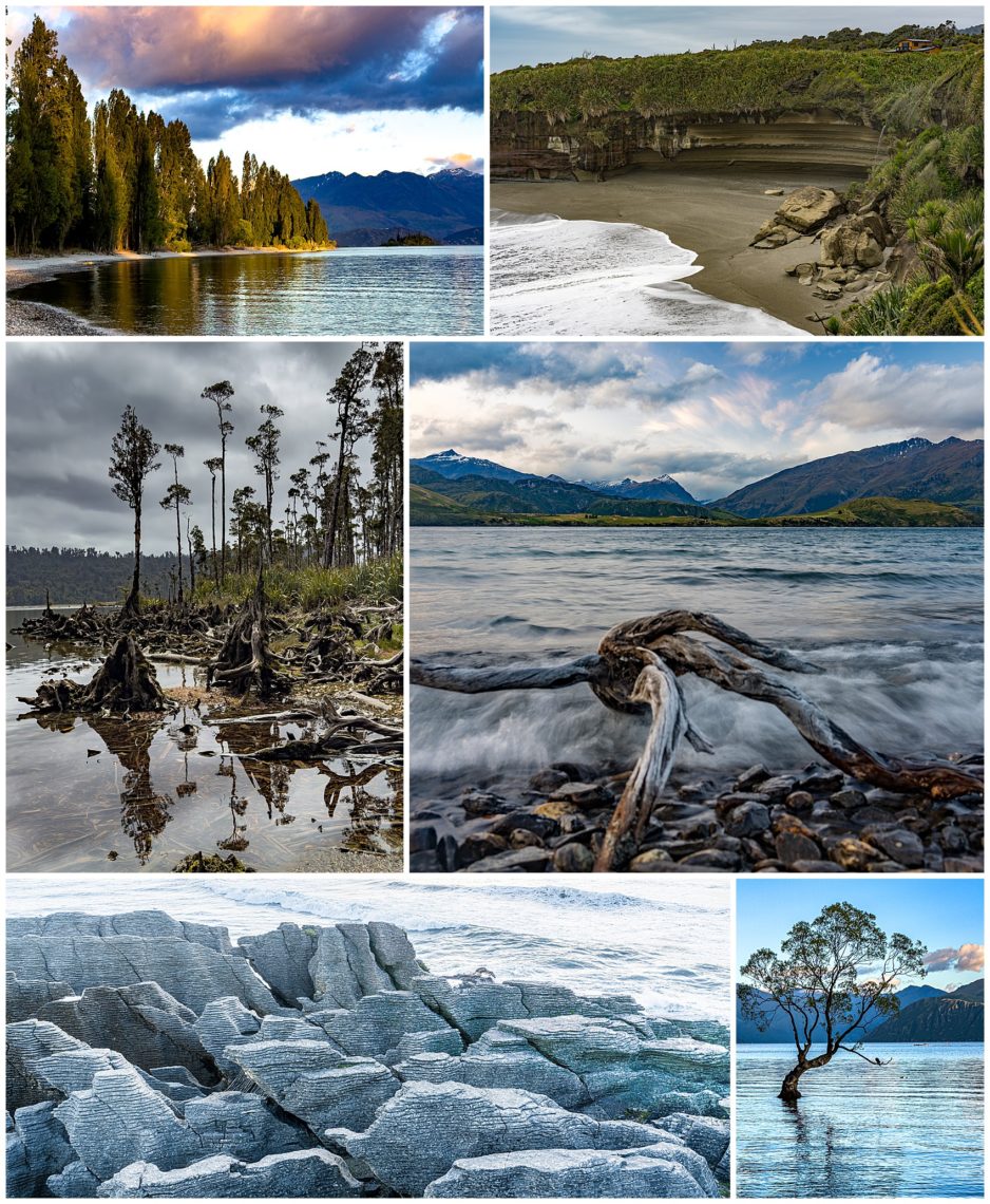
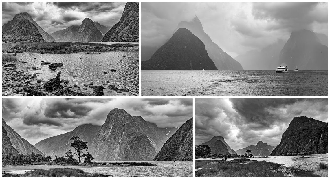
Being an island with 775 lakes and frequent rains, it is not surprising that many of the photographic stops relate to water. Sometimes the images required getting up at 4AM to capture them at sunrise. For sunset shots as the Pancake Rocks (lower left), we went over after dinner and stayed out until after sunset (around 9PM this far South), hoping again for “some color in the sky” as the sun lowered (upper-left and lower-right). Many other images were captured during the day, where the stormy skies offset the normal harsh glare of the sun (center row).
One of the times the sun refused to cooperate was at the Wanaka Tree (lower-right). This is probably the most photographed tree in New Zealand, but the wind whipped up, preventing the expected reflections. This was also a time that the weather played tricks on us. Instead of the cold, stormy weather of most of this tour, the sky turned clear…. so clear that there were no clouds in the sky to capture the vibrant sundown colors that we were hoping for… ☹
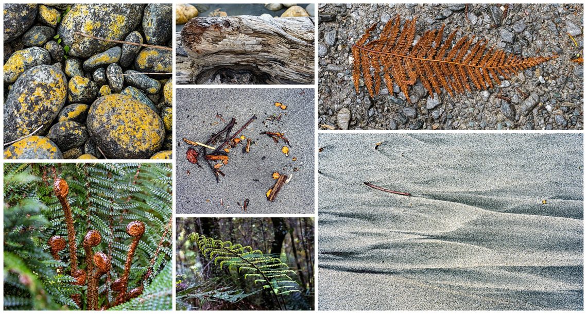
On a landscape-oriented tour such as this, it is easy to focus only on the distant views of mountains, roads, and rivers. Sometimes it helps to look down though, and see the tiny images that we frequently just walk past. Flowers (lower-left), rocks (upper-left), leaves, and even simple patterns in the sand (lower-right) present their own images to remind us of where we traveled.
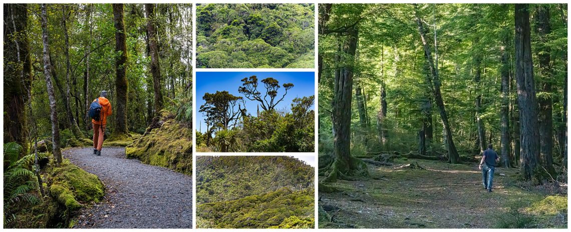
The west coast of the Southern Island of New Zealand is amazingly lush with densely packed forest. Some portions have tall trees where paths have been carved for hikers (left and right). Much of the island is so dense though, that is would be very hard for any person to manage to walk among them (center column).
Our last coffee stop before returning to Christchurch from the West Coast on December 16th was to visit Gollum (upper left). We found him perched on top of the old Otira Stagecoach Hotel. Gandalf (upper right) was also there to welcome us to this cafe/hotel with its collection of antiquities. It was a fitting last stop, since we have been traveling past many of the scenes where the Lord of the Rings was filmed.
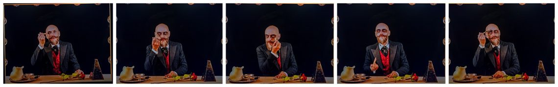
This cafe held a fabulous collection of odd knick-knacks that just screamed to be played with and photographed. Oli, our bus driver and second local guide, grabbed some items and dressed as a Steampunk character (lower left). This photo was captured by Nina, another traveler in our group.
Oli was our bus driver on this trip, but has been leading other trips as a local guide in the area for many years. He provided a running monologue of interesting facts and history about each area we drove by. Between Glen and Oli, we were kept fascinated even on the long drives between our daily destinations.
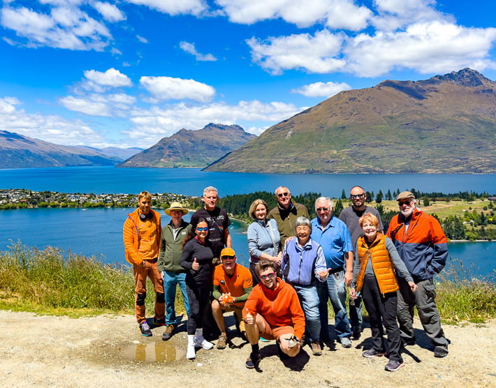
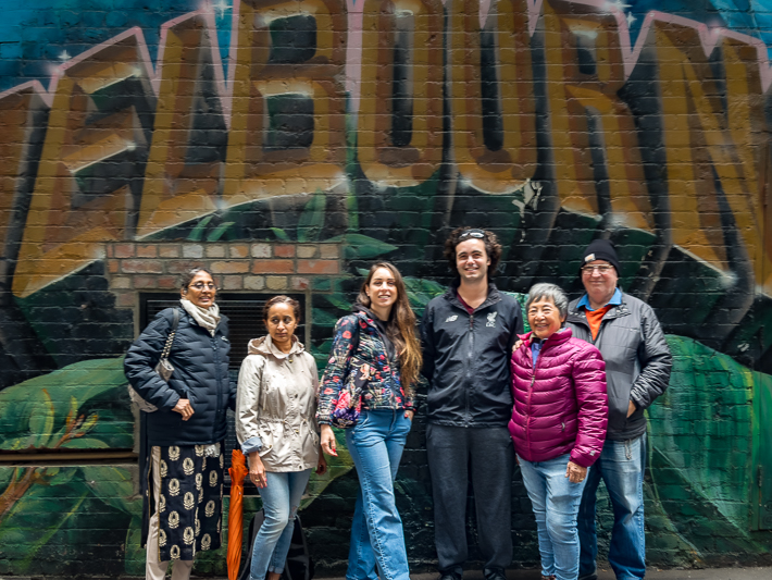
On the last day of our tour, the weather began to improve. At one photographic stop that day, we all gathered for a group photo. Daniel Kordan was our primary photo tour leader, and sits in front. Other members shown are Jan, Hywel, Criz, Alan, Glen, Irina, Jurij, Evelyn, Burt, Mike,Nina, and Bill.
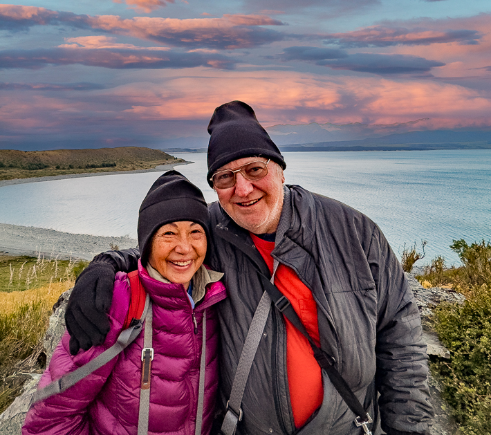
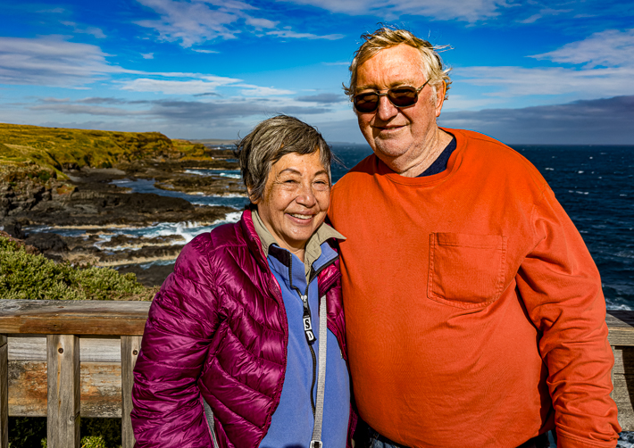
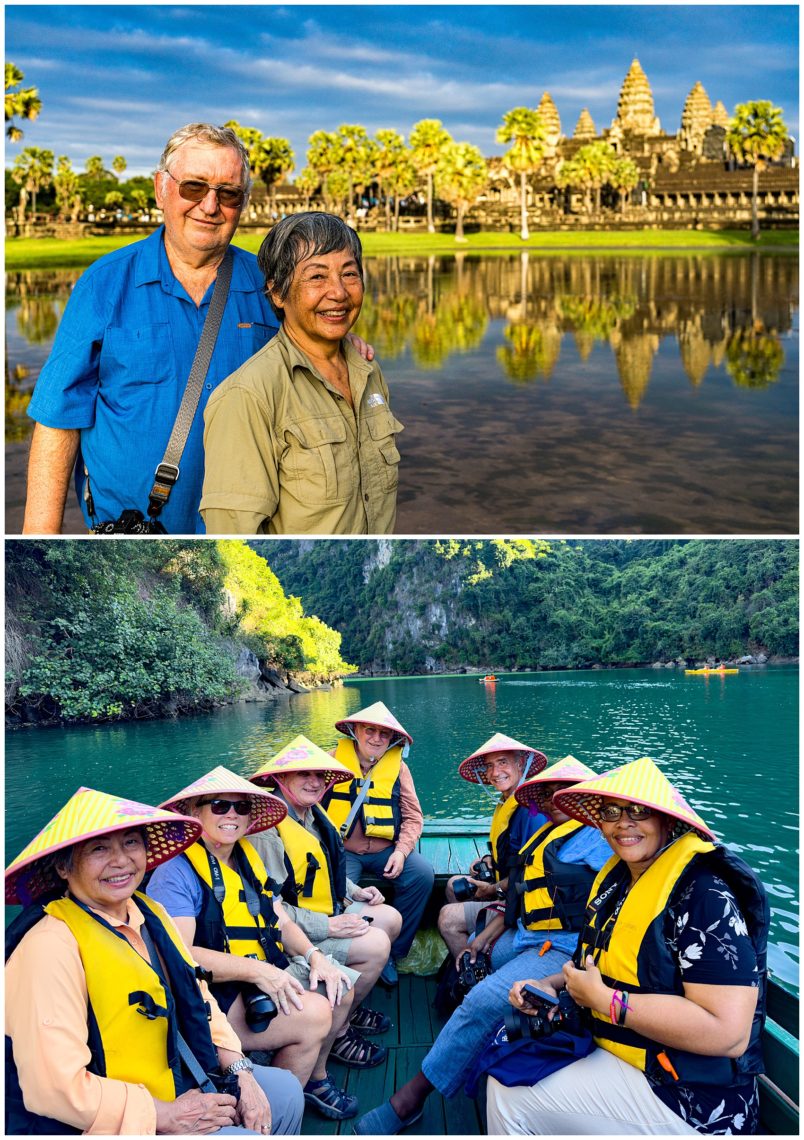
We had to prove that we were actually on this trip, so asked Glen Howey, our local guide, to photograph us together in front of one of the lakes where we were attempting to capture a sundown. You can tell from the clothes that we are wearing, just how cold it was there most of the time! ☺